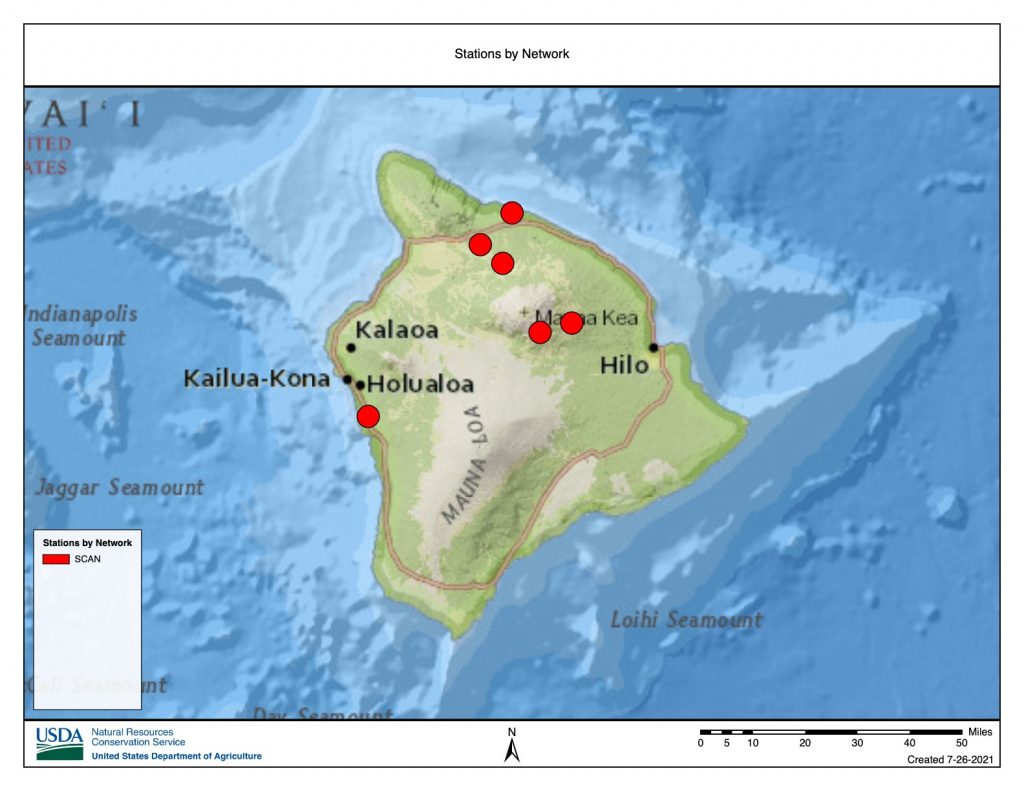
The Soil Climate Analysis Network (SCAN) program was established by the Natural Resources Conservation Service (NRCS). SCAN stations monitor and report hourly measurements of RF, Ta, RH, WS, SM, Ts and Sw over 200 sites across the U.S. We have identified 8 SCAN stations in Hawai‘i all of which are located on Hawai‘i Island. The Hawai‘i located SCAN stations have been operating since 2005 and all 8 stations were determined to be active at the start of 2017. SCAN data can be downloaded from the SCAN data web portal. (https://www.wcc.nrcs.usda.gov/scan/).
The Soil Climate Analysis Network (SCAN)