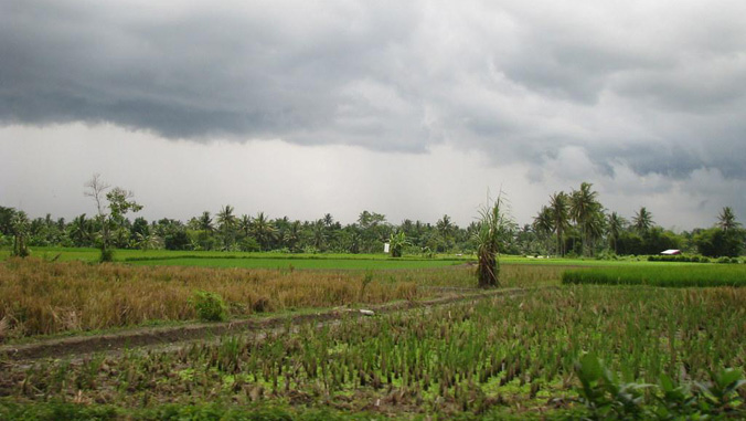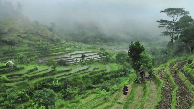
Around the globe, communities are concerned with rain and storms. An area known as the “Maritime Continent,” which includes major islands such as Sumatra, Java, Borneo, Papua New Guinea, along with a galaxy of smaller islands, experiences significant rainfall, including periodic monsoonal rain, and flash flooding.
In a new study led by atmospheric scientist Giuseppe Torri at the University of Hawaiʻi at Mānoa School of Ocean and Earth Science and Technology (SOEST), researchers revealed details of the connection between a larger atmospheric phenomenon, termed the Madden-Julian Oscillation (MJO), and the daily patterns of rainfall in the Maritime Continent.
The MJO circles the globe around the tropics and can affect weather on weekly to monthly time scales, alternately bringing cloudy, rain periods and sunny, drier periods.
Torri and co–authors found that the impact of the MJO on the daily rainfall patterns of Sumatra was quite significant. When the MJO was active near the Maritime Continent, there was more water vapor—and therefore greater potential for significant rain events—and more variations in water vapor throughout the day as compared to the suppressed phase. Also, clouds and rain seemed to move offshore at night faster during the active phase of the MJO.
Using GPS signals to investigate the atmosphere
The team relied on data from a network of GPS stations that were installed on Sumatra and on the neighboring islands by a team of scientists interested in monitoring tectonic activity along the western coast of Sumatra. As it turns out, the GPS signal is distorted by the amount of water vapor in the atmosphere. This distortion is bad news for people interested in location information—which is what the GPS technology was invented for. However, scientists, including UH Mānoa Atmospheric Sciences Professor Steven Businger, realized that the distortion can tell us something about the state of the atmosphere and pioneered its use as a source of data.
With the extensive coverage of the GPS stations on the island of Sumatra, the team had a dataset that provided a highly detailed picture of the daily atmospheric changes.
A clear picture of cloud and rainfall movement
“Given the existing scientific literature, we had a sense that the MJO had an impact on the local convection in the Maritime Continent,” said Torri. “One thing that was surprising to me was just how well we could see the convection propagate offshore in the late evening. This is thanks to the density of stations of the GPS network we considered.”
The MJO is arguably one of the most important phenomena on the planet, and can influence the weather and the climate of regions that are even thousands of miles away from the Maritime Continent. A better understanding of the MJO, and a good way to simulate it are key to better understanding our current and future climate.
While the current study furthers understanding of the impacts of the MJO on clouds and rain over Sumatra, Torri will team up with SOEST atmospheric scientist Alison Nugent to investigate the causes of these impacts and the mechanisms that control the offshore propagation of rainfall.
For the full story, go to the SOEST website.