
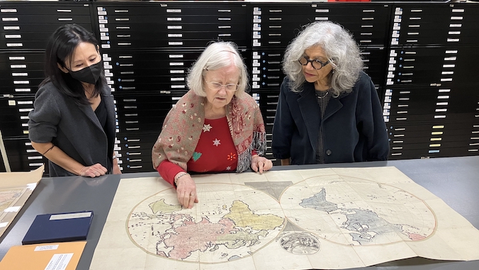
The University of Hawaiʻi at Mānoa Library has been actively acquiring rare and historic maps of Asia, creating a valuable resource for students, faculty and researchers. The recent additions to the collection was inspired with the purchase of a 1926 map of Manchuria in 2018, which is now on permanent display in the Asia reading room of Hamilton Library.
Librarians from the Asia Collection, representing Japan, China, Korea, Russia and South and Southeast Asia, have collaborated to acquire rare and unusual maps from antiquarian dealers.
Geography Professor Reece Jones, who utilizes the maps collection for research and his classes, explains that these maps are crucial for “building a knowledge foundation for research across Asia and will be vital resources for generations to come.”
Serving a wide range of purposes
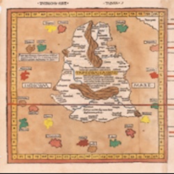
The collection spans Northeast Asia, featuring maps in Russian, Japanese and Chinese languages. Notable among them is a recently acquired rare map, Oranda Chikyuzu, which depicts the story of a Japanese castaway who lived in Russia, known as Kodayu.
Maps are cosmological expressions, perspective spatial conceptualizations, and projections of power
—Ned Bertz
The maps serve various purposes, ranging from wartime applications with strategic and propagandist intentions, such as the 1937 Osaka Mainichi Shimbun Japanese anti-Soviet propaganda map, to defining borders with political impact, particularly by colonizers. Some maps focus on economic activities, such as fishing and mining, while others highlight city limits.
Professor Ned Bertz, a South Asia and Indian Ocean historian, said, “Maps are cosmological expressions, perspective spatial conceptualizations and projections of power.”
The significance of maps in teaching and research is underscored by their role as primary source materials.
“They have become cultural heritage objects that are not only cartographically beautiful, but also rich in data, including multiple languages, place names, exploration routes, trade routes, economic information, battlegrounds and more,” said Maps Librarian Ted Kwok.
Accessing maps online
To make these historical treasures more accessible, the library is gradually digitizing the maps in its state-of-the-art digitization lab. A digital exhibit, created in collaboration with Library Web Developer Daniel Ishimitsu and Network Specialist Ed Yagi, showcases recently acquired rare and unusual maps. This exhibit will also be available for viewing in the Reading Room of the Asia Collection.
The funding for these map acquisitions comes from the generosity of library donors and the support of University Librarian Clem Guthro.
Learn more on the library’s website.
