
Shortly after the lava began flowing in lower Puna in May, Hawaiʻi County Civil Defense contacted University of Hawaiʻi at Hilo Geography and Environmental Science Associate Professor Ryan Perroy. Civil Defense enlisted the help of his group, which uses drones to do high-resolution mapping of different land forms.
At that time, Civil Defense was worried about pinpointing the exact locations of the advancing lava. “We can get that sort of overview, overhead shot, and relay that information very quickly to the incident commanders and fire responders,” Perroy said.
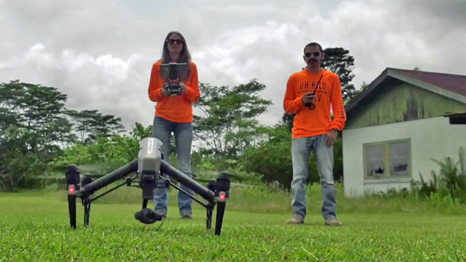
UH Hilo technician Rose Hart and aeronautical sciences lecturer Roberto Rodriguez are part of Perroyʻs remote sensing geomorphology team, operating the drones and crunching data.
“The student participation I think has been—I imagine—invaluable for them,” said Perroy. “They are really seeing how this technology can be used to help.”
During the eruption, members of the UH Hilo team were doing whatever they could to provide data to civil defense, to aid in a range of ways, such as helping residents to recoup losses. The same data is also expected to help the team with its scientific endeavors.
Perroy said, “The longer-term scientific value of the data that we’re collecting [is] that we can better understand these types of eruptions and maybe do a better job of predicting in the future.”
Learn more about UH Hilo’s Spatial Data Analysis and Visualization Labs at their website.
—By Kelli Trifonovitch

