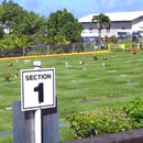
UH Hilo field work creates new map to help visitors to veterans cemetery January 26, 2024 UH News Student geographers created an online map that gives viewers an overhead view of the cemetery and photos of each gravesite.
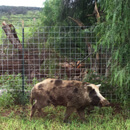
Feral cattle, pigs exacerbate spread of Rapid ʻŌhiʻa Death on Hawaiʻi Island December 3, 2023 UH News Newly published online maps show fencing can help prevent the spread of the disease.
UH Hilo grad students present invasive species research in New Zealand May 30, 2023 UH News Graduate students use satellite imagery to map the spread of two major invasive species in Hawaiʻi’s native forests.
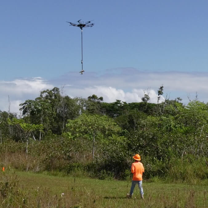
New chainsaw drone technology deployed to fight Rapid ʻŌhiʻa Death November 20, 2022 UH News The device, named Kūkūau, consists of a small rotating chainsaw with a robotic gripper claw and can cut and retrieve tree branches.
UH Hilo geographers’ digital project speeds response to public access queries July 16, 2021 UH News The project will help Hawaiʻi County give the public access to areas related to valued cultural and natural resources.
UH Hilo produces mapping for statewide agricultural survey February 23, 2016 UH News The UH Hilo Spatial Data Analysis and Visualization Lab released a study on agricultural land use which provides information on the location of commercial agriculture activities statewide.
UH Hilo collaborates on statewide agricultural survey March 9, 2015 UH News Statewide agricultural survey to provide a digital depiction of the 2015 agricultural footprint of the state.
Discovery Channel films UH Hilo researchers mapping lava flow December 8, 2014 UH News Discovery Channel Canada video documents UH Hilo researchers' aerial mapping methods
Puna lava flow aerial imagery provided by UH Hilo researchers October 29, 2014 UH News UH Hilo researchers successfully mapped the active flow front of the June 27, 2014 Kīlauea lava flow with an unmanned aerial vehicle on October 22.